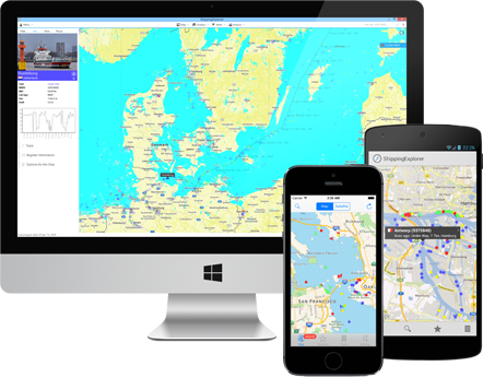
Meet ShippingExplorer 7
The cost-effective real-time tracking software with new and improved alerts, better tools, a modern UI, and much more.
Vessel operating for the 21st century
ShippingExplorer improves productivity
and provides the tools with enhanced usability.


Trusted by organizations, relied on by businesses.
Zones and Alerts via E-Mail & SMS
You draw a zone on the map and once the specified ship(s) enters that zone
you'll be alerted via e-mail or SMS on your mobile phone.

Dozens of Filters
Filters help you see only vessels of a special kind. Many more dynamic filters were included such as the "Destinations"-filter ("Which vessels are going to Hamburg?"). These and many more filters can be found right next to the map.


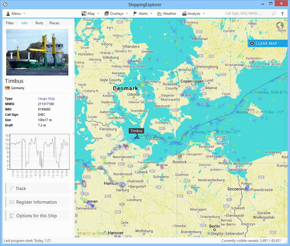
Register Information
In addition to the live data we also provide further information about the selected ship. See when the ship was built, who operates it and much more.
Port Statistics
With ShippingExplorer you can see detailed statistics of a port. When is the best time and best day to arrive in Hamburg? or What kind of ships are there most?


Port Traffic
You can see which ships came in and went out on a specific day.
Route Calculator
You can easily plan your vessel's route by drawing its path on the map. ShippingExplorer will show you when your ship will arrive at route points and how much it will cost and how much fuel will approximately be consumed.

Track and Port
History
We record every step a ship makes so that you can later see when and where a ship was. You can even download the track as an Excel-file (time, coordinates, speed, course).
Nautical Charts, Satellite, Overlays
Display nautical charts for some regions over your map just like in your office. You can also use overlays such as marine profiles or the Sea Marks of the OpenSeaMap.
Port and Sea
Weather
See the current and upcoming weather conditions (including temperature, wind, pressure, ...). A map overlay with wind or waves can be displayed.